Geopackage Creator
Introduction
The Geopackage Creator is an R/Shiny app that allows users to create a spatial database for use with the other BEACONs tools, principally the Disturbance Explorer and the Hydrology Explorer. The only input required by a user is a polygon layer within a geopackage file that defines a study area located within northern BC or the Yukon.
Description
The Geopackage Creator has two views:
- Mapview - view map layers
- Overview - tool description
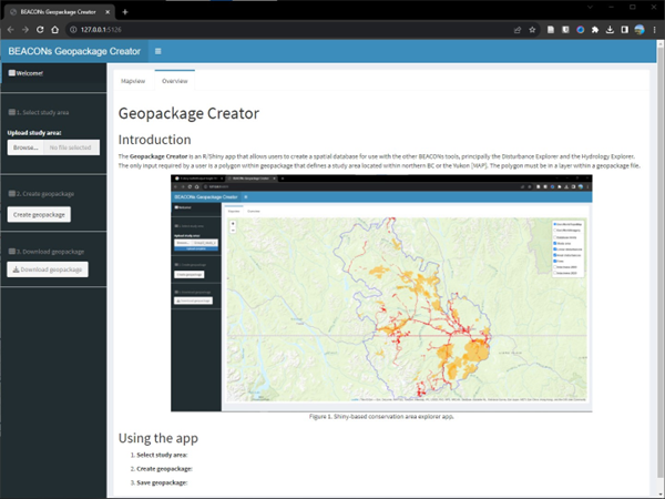
Using the app
Using the app consists of three simple steps:
- Select study area
- Create geopackage
- Save geopackage
As a final step, you should open the newly created geopackage in a gis e.g., QGIS or ArcGIS
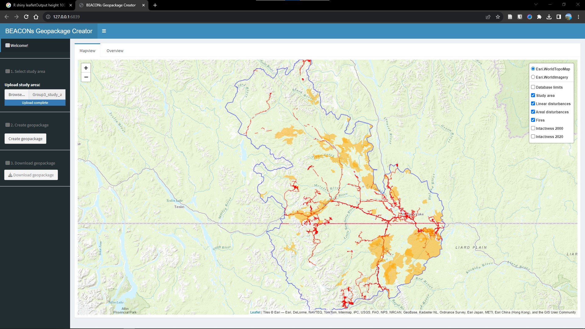
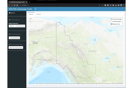
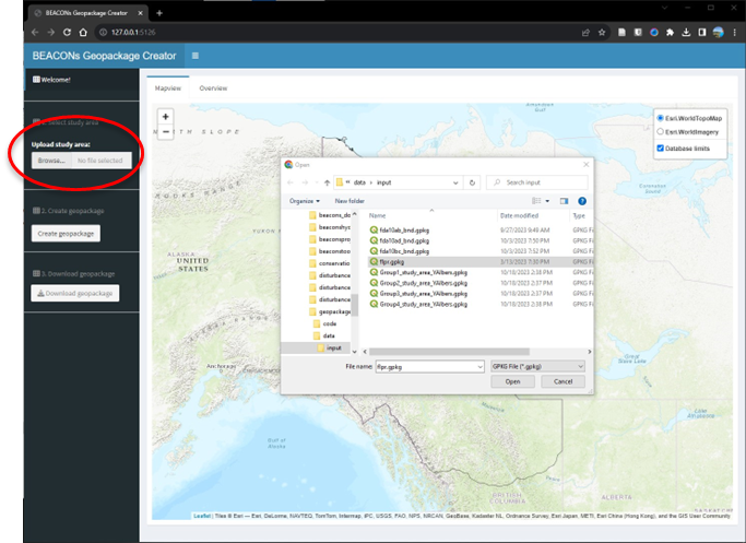
1. Select study area
Click on “Select study area” to upload a boundary layer in a geopackage file (“.gpkg” extension).
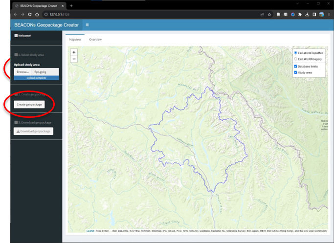
2. Create geopackage
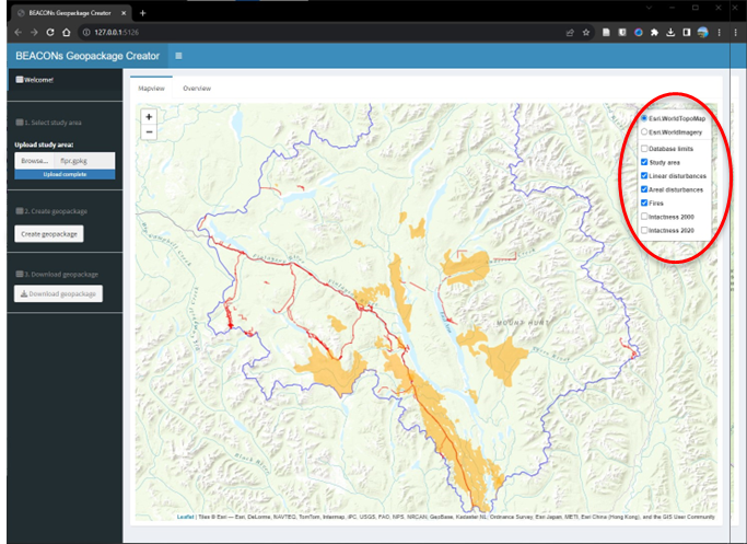
Click on “Create geopackage” to create a geopackage file contain 6 layers:
- boundary
- fires
- linear disturbances
- areal disturbances
- intact forest landscapes (2000, 2020)
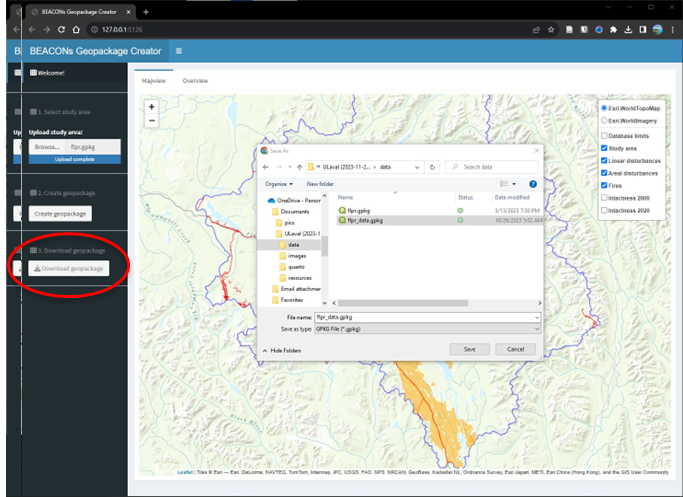
3. Save geopackage
Click on the “Save geopackage” button to save the newly created layers in a geopackage file (“.gpkg” extension).
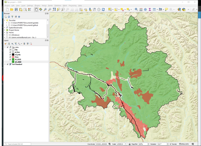
After saving the geopackage file…
Use QGIS or ArcGIS to check to make sure that all the layers exist in your study area.